



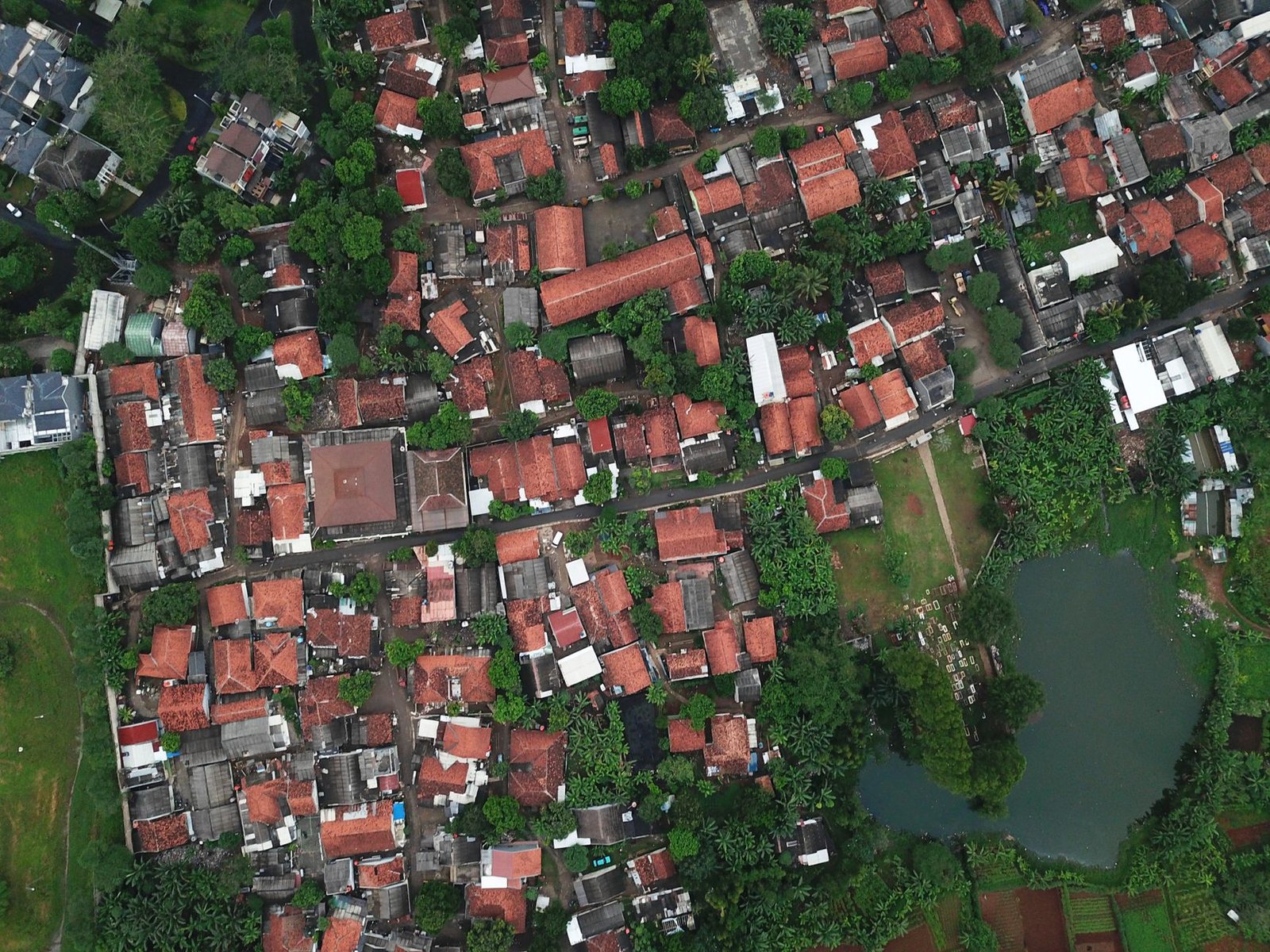
Imagine wielding the power to alter reality with just a few clicks. That’s the potential AI holds in the realm of satellite imagery, a topic that recently captured buzz with Google’s fleeting experiment. For a moment, Google Earth opened Pandora’s box by enabling users to create AI-tweaked versions of satellite images before quickly stepping back after realizing the possible threats of misinformation.
Key Takeaways
- Brief introduction of AI-modified images in Google Earth.
- Concerns over misinformation led to the feature’s retraction.
- The tool was powered by Google’s Nano Banana 2 AI image generator.
- The challenge lies in balancing innovation with ethical considerations.
- Future AI developments need stricter guidelines to prevent misuse.
A Temporary Experiment in Creativity
For a short time, Google allowed users access to an experimental feature that could transform satellite photos using artificial intelligence, a promising yet perilous tool in the world of **digital modification**. This feature was integrated with **Nano Banana 2**, an advanced AI image generator, which claimed to transform reality by blending Google Earth’s existing satellite and aerial imagery with created content, grounded in real-world contexts.
Retracted in the Blink of an Eye
The excitement was short-lived, as Google quickly pulled the plug on this feature. Reports of **AI-manipulated images** illustrating misleading scenarios raised alarms about the ease with which such tools could be misappropriated. As users began to share their modified works across social media, it became apparent that Google’s new toy was a double-edged sword.
The Technology Behind the Manipulation
**Generative AI** is a branch of artificial intelligence capable of producing new content, images in this case, from existing data. Think of it like an artist creating a new scene inspired by an existing masterpiece. The technology relies on machine learning models trained to understand patterns and compositions in vast datasets, but instead of painting abstract representations, it paints a reality that isn’t real at all.
An Example to Ponder
To get a grasp of how this works, imagine you’re a filmmaker with access to limitless footage. You can digitally alter scenes to add non-existent landmarks to a bustling cityscape. While this creative liberty is beneficial in storytelling, the potential for **misinformation in real-world contexts** is high when similar tools are applied to satellite imagery.
Minding the Ethical Gray Zone
Google’s brief flirtation with AI-powered adjustments to Earth imagery underscores a pivotal ethical conundrum faced by tech companies today. On one hand, the development of such tools represents a leap forward in our ability to innovate and customize our interactions with geographical data. On the other hand, the dangers of **disinformation**—false information spread with the intent to deceive—become even more pronounced.
Striking the Right Balance
This incident shines a spotlight on the necessity for tech companies to navigate the **ethical challenges** that accompany technological advancement. Striking a balance between fostering innovation and protecting the public from potential harm is crucial. Moving forward, adherence to stricter guidelines and robust safety measures should guide the evolution of such tools.
The Future of AI: Proceeding with Caution
As we peer into the future, the potential of AI to shape our perception of reality will continue to expand. How companies like Google choose to implement these technologies will impact society at large. The next steps will be to harness the **enormous creative potential of AI** while steadfastly guarding against its misuse. With the right policies, AI has the potential to enhance human creativity and perception, offering new, clearer lenses through which to view our planet—all while safeguarding truth and accuracy.
